AIRCRAFT & PODS
-
Mount a Klau Geomatics system on your current aircraft with a certified sensor pod or floor hole
-
Or deploy a brand new modern light aircraft, fit for purpose
Camera Pods
Easily move from one aircraft to another
-
Pods compatible with common Cessna and helicopter models
-
Various camera and LiDAR payloads
-
Custom modification design and engineering
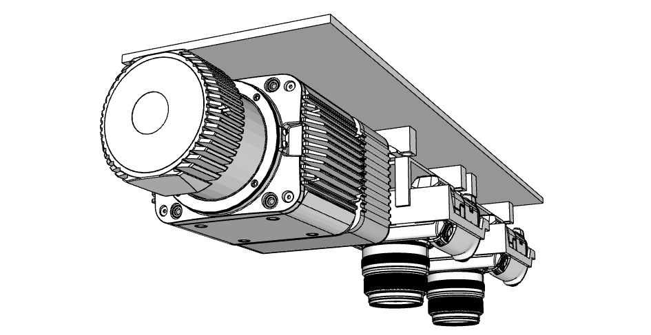
The Klau Geomatics pod is an STC approved system to carry multiple cameras and LiDAR on various aircraft, including fixed-wings and helicopters.
The pods typically carry the full spec NovAtel positioning suite, with a variety of LiDAR scanners and cameras such as RGB and NIR. Integrated with the Klau Geomatics positioning system, flight management and data management.
The pod is designed and built to the specifications of Meeker Mounts which have a FAA and EASA STC (supplemental type certificate). The connection of the pod to the Meeker requires a local engineering approval (Engineering Order/Field Approval). We can help arrange the local field approval on your aircraft.
-
FAA/PMA STC Certified
-
no engineering required to install
-
Cessna 172, 182, 206, 208 & Caravan compatible
-
Custom mounts for Bell, Eurocopter, Agusta, MD, Robinson and Sikorsky helicopters
The Naked Brumby
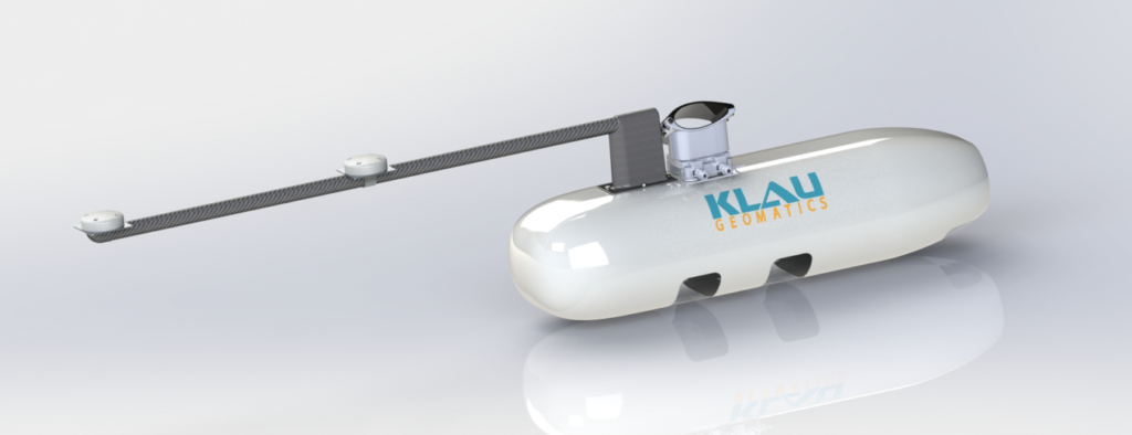
A minimalist approach for a single Brumby LiDAR on a helicopter, light aircraft or mounted directly on towed-bird sensor arrays.
-
Approved for aviation
-
Meeker compatible for compliant aircraft installs
-
Single Brumby LiDAR
-
Protective cover for takeoff and landing
-
Australian designed and manufactured
Tecnam 2006T
The worlds lightest twin engine aircraft
-
Large payload capacity
-
Two Rotax engines run on Avgas or Mogas
-
Safe at low speeds for low altitude captures
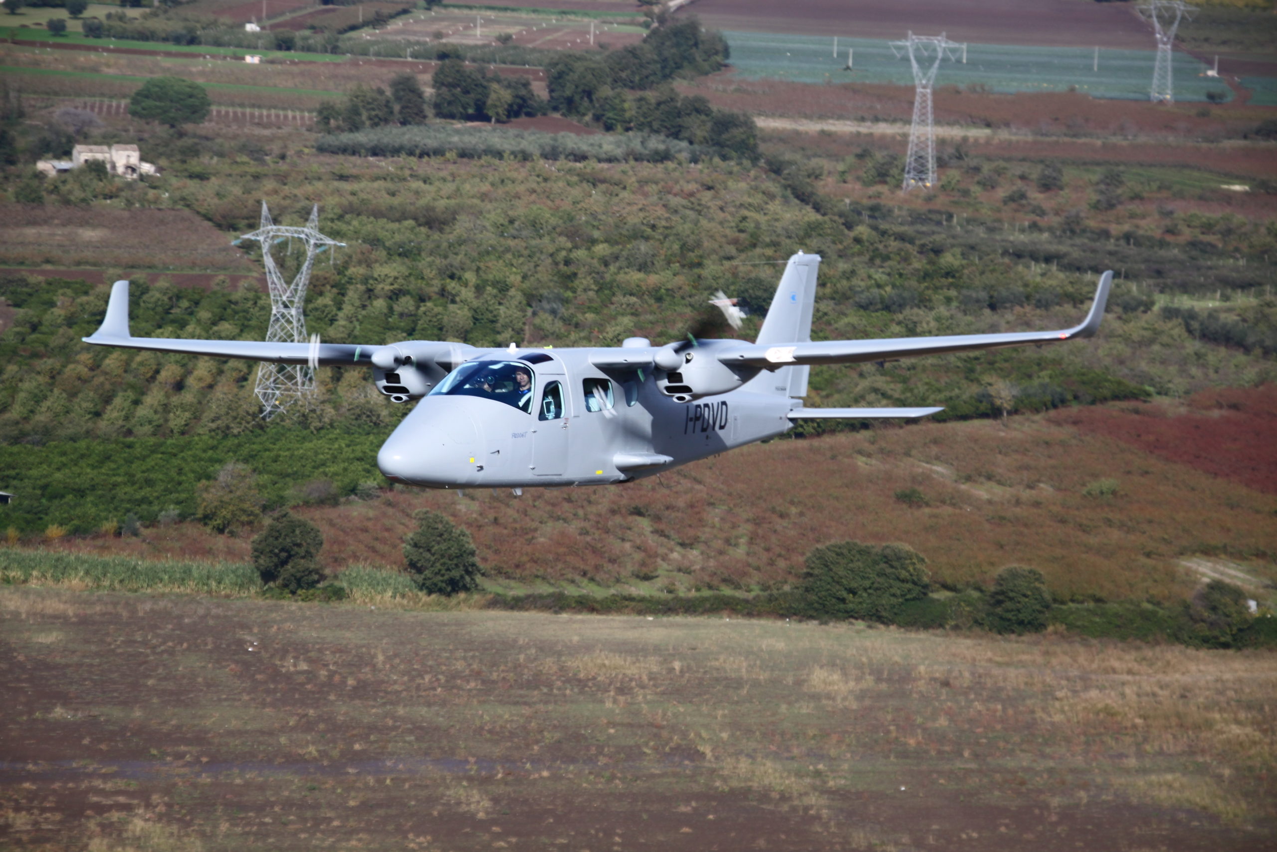
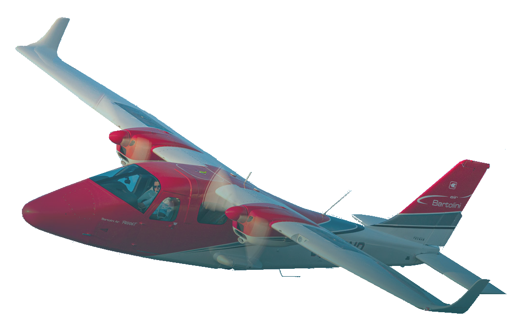
The Tecnam P2006T brings the safety and reliability of a twin engine aircraft to a deceptively small and light platform, only marginally bigger than a Cessna 172.
Very capable and certified for commercial air work, the Tecnam P2006T is a perfect fit for low level aerial data capture and LiDAR scanning, opening up opportunities to operate in sectors not previously attempted with fixed wing aircraft.
With retractable gear and refined aerodynamics, the performance characteristics suit fast ferry speeds and safe low speed data capture operations. Equipped with the latest modern cockpit technology for VFR and IFR operations, with the safety of twin engines for low level work.
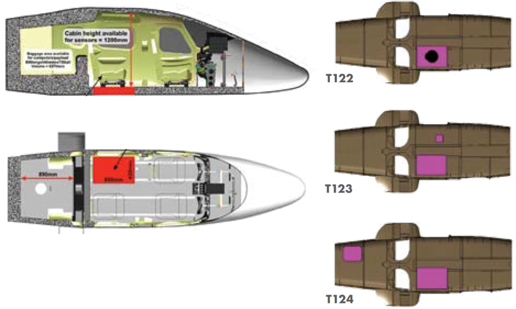
The aircraft comes from the factory with a certified camera hatch in the rear that can easily carry larger sensor payload combinations.
-
Fully CS-23/FAR-23 IFR certified
-
Garmin Glass or analogue IFR cockpit
-
Cruise speed from 55 kn to 150 kn
-
Short takeoff and landing
-
34 l/hr on avgas or mogas
X- Eye Pipistrel
Agile and efficient, custom modified Pipistrel with belly pod for mapping payloads
-
Low operating costs
-
Balistic parachute for BARS compliance
-
stable and efficient at low speeds
-
packs into a trailer, no hangar fees.

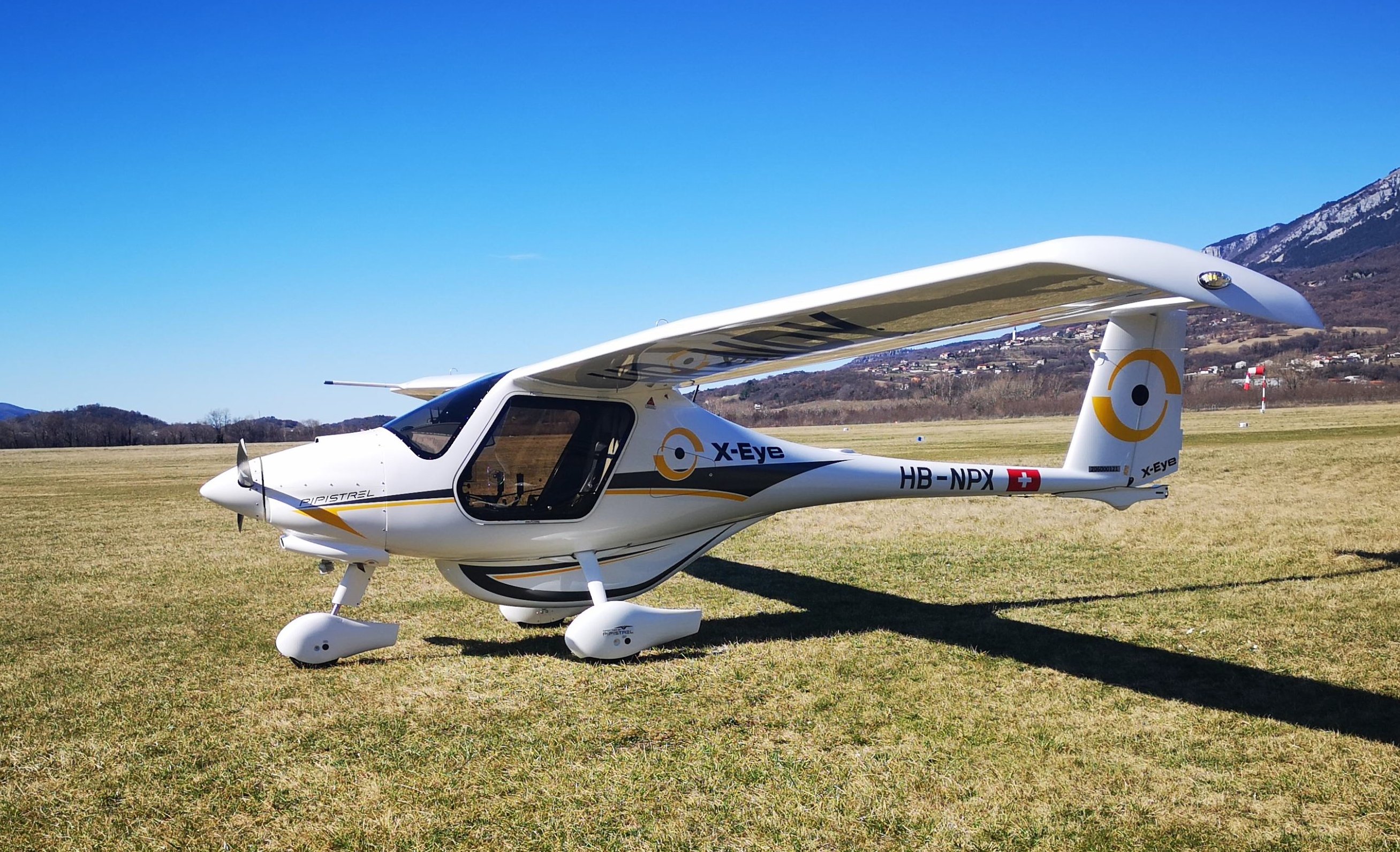
The X-Eye is a Pipistrel Virus 121A variant, designed, built and certified for commercial air work. A high performance 2-seater equipped with the latest Garmin G3 Touch cockpit, IFR ready, features a BRS system and is EASA type certified.
This is the most efficient platform for light manned aerial mapping.
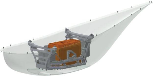
The belly pod is designed to carry significant payloads such as multiple cameras, LiDAR, and other sensors.
A perfect fit with the Klau Geomatics aerial mapping system.
-
Commercially Certified Light Sports Aircraft (600kg)
-
Cruise speed 100 kn, Stall speed (without flaps): 53 kn
-
10 l/hr fuel consumption
-
Operating costs 5x lower than helicopters and 3x lower than similar SEP
-
Outstanding safety, glide ratio of 15:1
-
BRS/Parachute equipped
-
Best stall characteristics (Class C, no pitch down moment when stalling)
-
Stick Shaker and AOA indicator for stall prevention
-
1000 ft/min climb rate thanks to high thrust to weight ratio.
Configure your Klau Geomatics system.
Contact us to discuss a system
for your requirements.
