BUILD YOUR SYSTEM
-
Aircraft and Pods
-
Integrated sensors with direct georeferencing
-
Aviation Operations and Data Management
What are you looking for in an aerial mapping system?
Are you outgrowing your drone operations, or already flying a camera and looking for a better system?
Or just looking for a better way to source the data you need when you need it.
Run through the following checklist to see what works best for you.
The Platform
Do you need an aircraft, a modification to your aircraft or a pod to fit on other aircraft?
-
Full system including aircraft.
-
Modification to your current aircraft to cut a hole in the floor for the sensor rack, and mount antennae on fuselage.
-
Universal Pod. Certified for air work and ready for easy attachment to a variety of aircraft.
Versatile and cost effective.

Klau Geomatics is working closely with Tecnam and Pipistrel X-Eye to configure and certify new modern aircraft specifically for aerial mapping. Capable, reliable, safe at low speeds, with low running cost, BARS compliance, single and twin engine aircraft, ready to go to work!
For mid to low-level aerial data capture and LiDAR scanning, these fixed-wing aircraft open up new opportunities.
If you already have an aircraft, perhaps with a hole in the floor and a camera, we can turn this into a mapping machine with accurate photo centre generation and a flight management system.
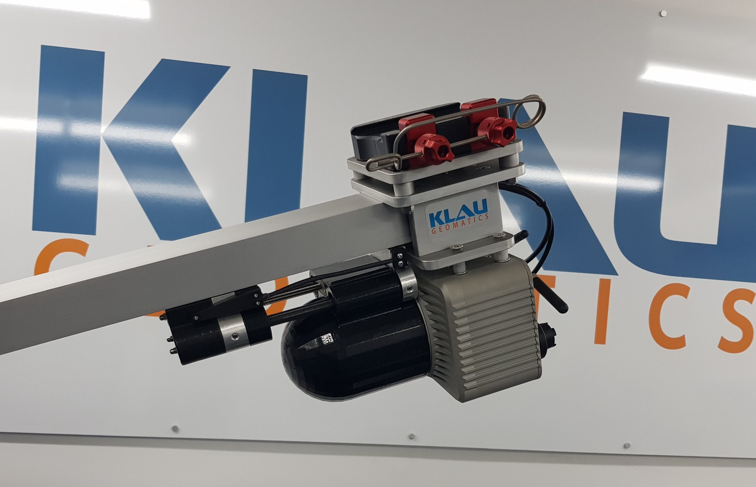
And the most versatile option, the Klau Geomatics Mapping Pod. Cameras, LiDAR and positioning, fully integrated and ready to fly. The pod attaches easily to typical aircraft, fixed-wing and helicopter, adding versatility, mobility, and cost efficiency to your operations.
The Sensors
What are the best sensors to capture the data you need?
Consider your deliverables, the outcomes you need, and work back from there. Do you need photogrammetry, LiDAR or something else to best achieve your goals?
Stepping up your UAV operations to take on larger jobs and clients? Or looking to expand your aviation business to aerial mapping?
We can make this work for you.
Photogrammetry with larger sensors to capture high quality images, way less images per square kilometre.
As many operators are considering LiDAR as an alternative, the choice of scanners, capture rates, range, point density, and other output specifics and analytics opens up a lot of questions. Our systems can be customised to meet your requirements.
Cameras
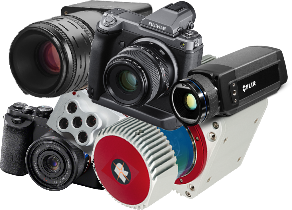
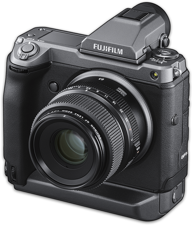
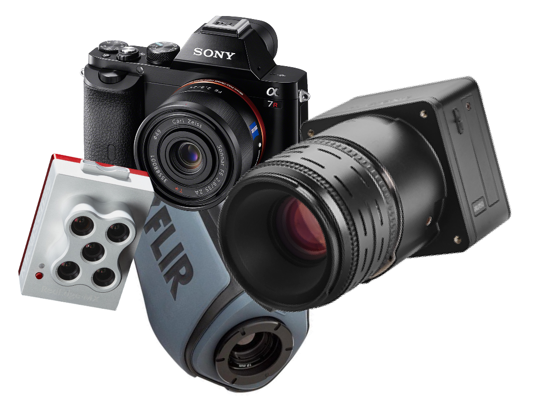
Moving to a manned system opens up more options with cameras for photogrammetry or inspection. Medium format cameras with larger sensors capture much more data in each image with more data in each pixel.
Choose from one or two cameras. PhaseOne and Fujifilm are popular at 100 or 150 MP.
Cameras can be set up to shoot nadir or oblique. You can modify a camera to capture Near Infra Red for agriculture analytics.
LiDAR
We work with a number of LiDAR suppliers with fully integrated georeferencing systems.
Reigl is recommended for mid-range aerial mapping at typical flight heights. Ouster and Hesai provide high point density at lower cost, for low level airborne capture, inspection and geophysics.
If wide area high density LiDAR data is really what you need, Klau Geomatics can provide Geiger-Mode LiDAR data as a service.
The Positioning System
How do you want to reach your accuracy requirements?
Add high level accuracy solutions onboard to cut down your project costs.
-
Basic GNSS, full constellation, multi-frequency PPK (requires base station data). Camera triggering and camera centre coordinate determination.
-
Terrastar – GNSS PPP, no base station, annual sub. 3cm anywhere, real time.
-
SPAN INS – Epson IMU, Kalman Filter tightly coupled processing. high accuracy trajectory, real time sensor orientation. Essential for LiDAR
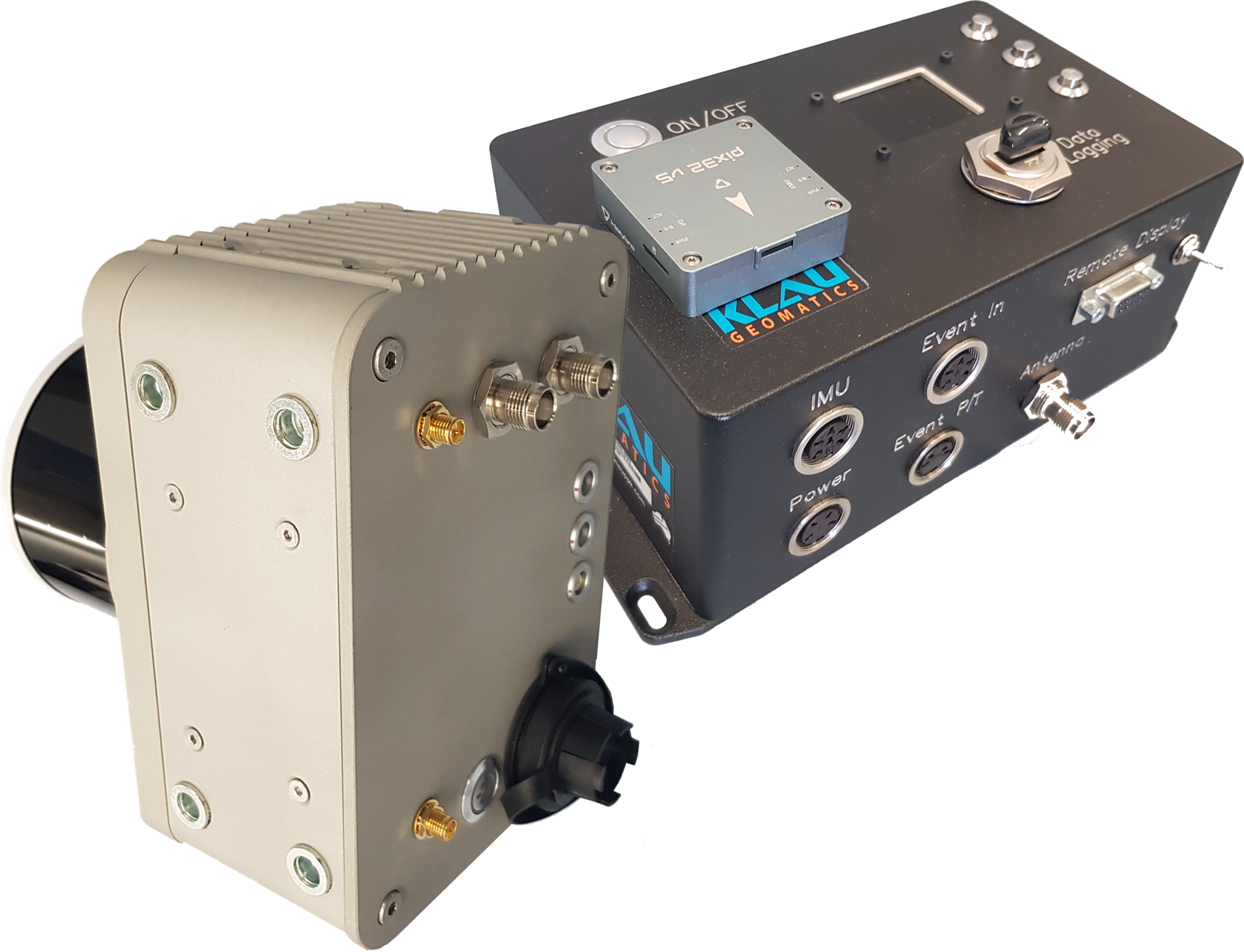
From simple to sophisticated, you can add more accuracy and efficiency to your aerial mapping operations.
We can connect to any aerial, industrial or DSLR camera for light manned aerial mapping. You may have a simple setup already. Add our PPK to trigger by distance and capture the precise photo timing. With aircraft tilts applied, your accurate photo centre positions will mean less post processing and way less requirements on ground survey.
Add Terrastar-C Pro ‘RTK from the Sky’ and never think about base stations again.
If you choose a LiDAR system or would just like to have full direct georeferencing on your cameras, we will integrate a precise IMU with live INS Kalman Filtering.
The Flight Management System
The tech you’ll need to plan and fly your missions.
From simple to sophisticated.
-
Simple cost-effective solutions can be configured to get you ‘off the ground’
-
Triggering of multiple cameras, synchronized or independent.
-
Flight management systems with sophisticated functionality to boost operational efficiency.
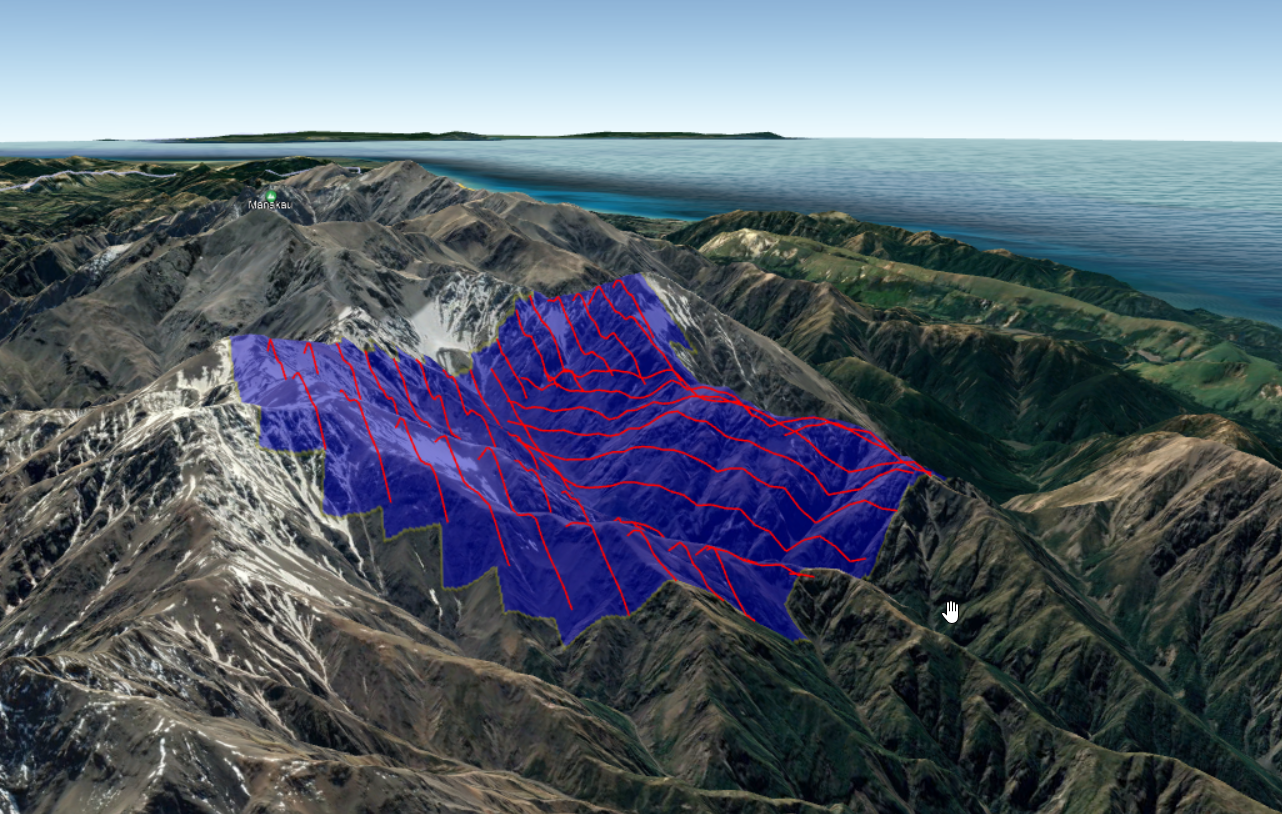
Klau Geomatics has worked with accuracy solutions for manned aircraft since 2016. We have helped customers fly missions in extremes of environments.
We can bring together the system most appropriate to your operational requirements.
Business Services
Not sure how to generate work or manage projects and data?
-
Job generation. Sales and Marketing to generate demand for data, to engage our pod owners to capture more data.
-
Project Management, operations, aviation, project planning, and execution.
-
Data Management, transfer of data, data processing of positioning, photogrammetry, Lidar georeferencing and other analytics.
-
Data delivery and sales.

As projects are generated and your pod gets busy, you’ll be collecting a lot of data.
You may have your own systems to manage. move, process, and deliver your mapping products to your customers.
Or you may need help. Klau Geomatics has the experience to help set you up to grow your business.
Configure your Klau Geomatics system.
Contact us to discuss a system
for your requirements.
