LiDAR
-
Direct sales of LiDAR scanners
-
Geo-referenced LiDAR solutions for mobile and aerial mapping
-
Wide area mapping systems
-
Static stockpile volume scanning
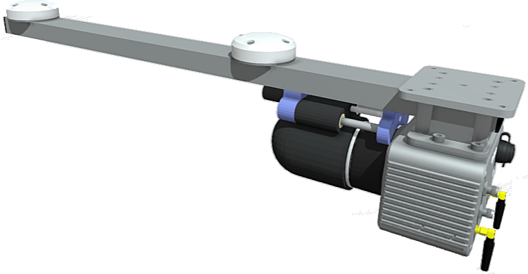
Brumby LiDAR
Mobile Mapping for vehicles, boats, helicopters and fixed-wing aircraft
End to end Georeferenced LiDAR solution, hardware, software and data delivery.
-
Integrated GNSS, IMU and LiDAR
-
Simple installation, operation and minimal data workflow
-
Australian designed and manufactured
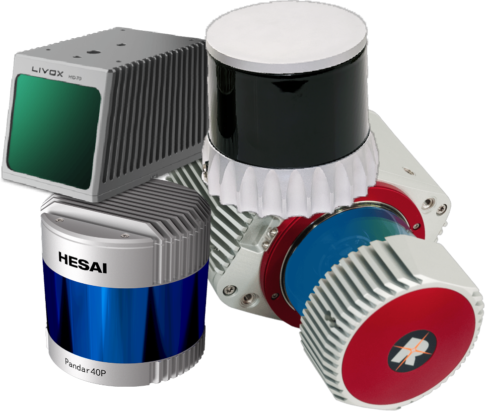
Klau Geomatics now represents
HESAI, OUSTER & VELODYNE
in Australia and New Zealand.
We offer direct sales and an unmatched level of support
for all of these products.
Looking for a LiDAR sensor for your applications?
-
State of the art LiDAR technology
-
A range of point density, beam angle and distance options
-
Supported by Klau Geomatics, with or without integration


Our technical team has a deep understanding of the product suite, to a level not typically found in sales organisations.
This gives us the ability to offer insights and solutions, whether on the purchase of a stand alone sensor for your specific integration or with further engagement of our team to create a solution.
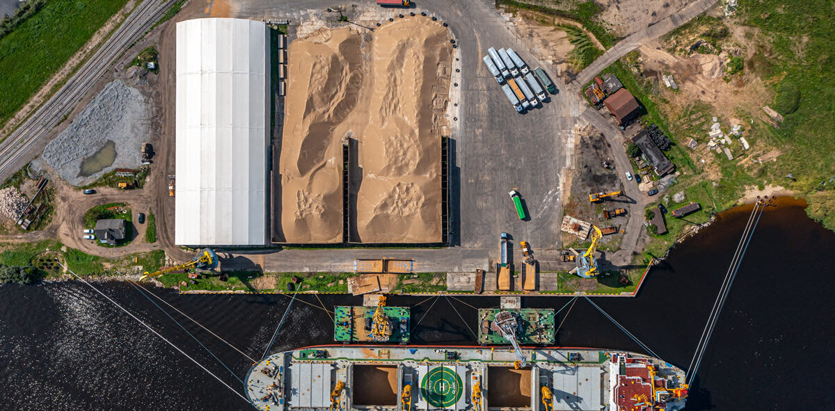
StockPiler
Static volume measurement automation
Simple, accurate stockpile volume determination
-
For outdoor or shed storage
-
reconcile volumes of minerals, grain and other high-value assets at the press of a button
-
Australian designed and manufactured
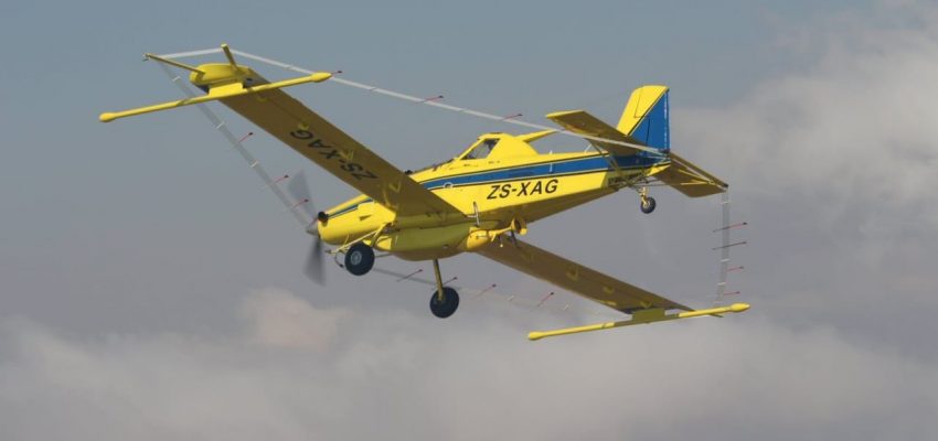
Brumby LiDAR for Airborne GeoPhysics
Terrain swath mapping + positioning of other sensors + altimetry
Map the terrain below your regular airborne geophysics acquisition
-
Terrain mapping with minimal post processing
-
Positioning of other sensors and flight altimetry
-
Australian designed and manufactured
Geiger-Mode LiDAR for Wide Area Airborne Surveys
Massive area coverage and extremely high point density
Geiger-Mode LiDAR is a unique mapping technology in a league of its own.
-
First time in Australia in 2023
-
Map massive areas for resources, infrastructure, carbon bio-mass, forestry and fire load
-
Unprecedented data capture at scale
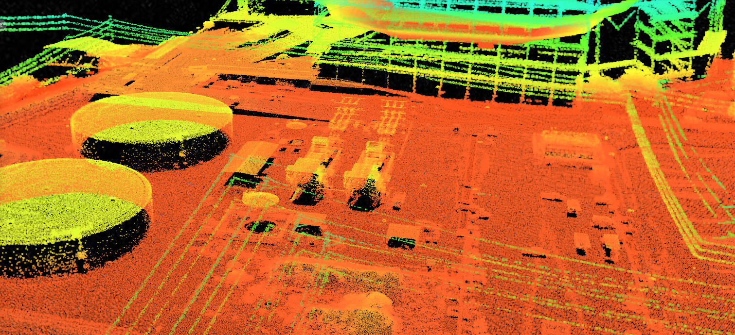
Not quite what you’re looking for?
Klau Geomatics can customize a system with different IMUs and LiDAR scanners for your specific applications.
-
Single and dual receiver GNSS options with real time PPP or RTK, and optional PPK post processing
-
Hesai, Riegl, Ouster, Livox & other LiDAR
-
IMUs from Epson, Honeywell, Vectornav and KVH
-
Custom configuration to suit your requirements
Configure your Klau Geomatics system.
Contact us to discuss a system
for your requirements.
