
UAV HARDWARE

-
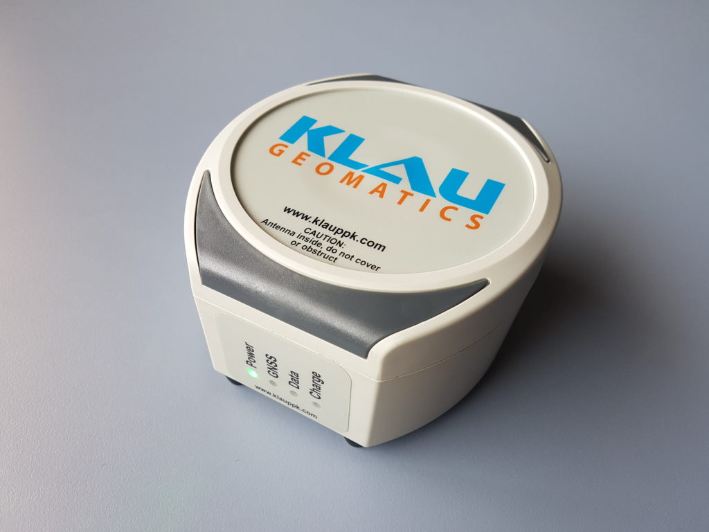
Carbon Fibre, 79 x 54 x 26mm, 96g
-
modular, moves from drone to drone
-
supports PPK, PPP NRT and PPP RT
-
subscription required for PPP
-
connectivity to external sensors and IMUs
Both the manned and unmanned systems are built on a NovAtel 7700 board receiving full constellation data, logging at 20Hz. This is industry leading technology at the core of our KlauPPK hardware, with advanced interference mitigation, military spec, tested over millions of hours.
Both UAV and Manned systems support PPK, PPP NRT and PPP RT.
COMPATIBILITY
Klau PPK is compatible with most UAVs and manned aircraft, and has been used in marine, vehicle and handheld environments. Improve your existing hardware and workflows with KlauPPK technology
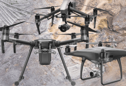
Compatible with most popular commercial drones
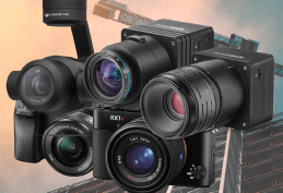
Compatible with many drone, DSLR and aerial cameras
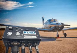
Ruggedized systems for manned aerial mapping
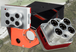
Compatible with many sensors such as Near Infra Red and Thermal
THE 7700C
Built for LiDAR integrators and IoT developers
-
Connects to various IMU/INS products, Vectornav, Honeywell, Pixhawk, and others
-
Data handshake, timing synchronization, and consolidated data logging.
-
PPP optimised for high accuracy positioning without a base station
-
Tightly coupled IMU processing on desktop or cloud
OEM conversations welcome.

Dedicated Base Station
A simple base station option for PPK. Just turn it on and it’s logging the data you need.
-
Logs full constellation (GPS, Glonass, Beidou and Galileo) data, dual frequency at 1 Hz.
-
5/8″ survey standard mount or just sit it on the ground
-
Micro SD card logging
-
Micro USB charging
Set it up over a known control point or process the data with MakeItAccurate.com to determine its precise location.
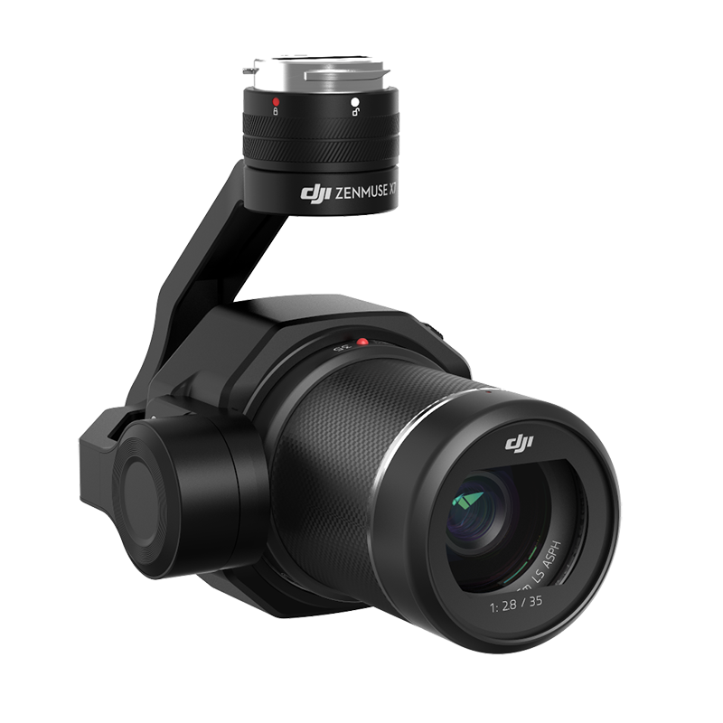
Camera Modification and Calibration
DJI cameras require a modification to capture the precise center of exposure timing. We also calibrate the camera in our lab.
-
A small connector is mounted on the camera back, to connect to the KlauPPK unit
-
The modification captures the precise center of exposure timing to process in the GNSS trajectory
-
The lab calibration parameters will import into your photogrammetry software to achieve best possible height results without GCPs
-
Not required for DSLR and aerial cameras that have a flash or dedicated center of exposure output
A procedure is provided for DSLR camera customers to achieve a field calibration. This may hold from mission to mission depending on the camera characteristics (moving internal parts)
Configure your Klau Geomatics system.
Contact us to discuss a system
for your requirements.