ABOUT US
We are a tight collection of geospatial, aviation, electronics and software experts, working in Australia.
Klau Geomatics
As a company, Klau Geomatics has changed the world of aerial mapping. Sounds like a big statement, but in 2014 aerial mapping systems in drones were limited to RTK at best, and drone operators were very dependent on GCPs. Klau Geomatics led the evolution of PPK, greatly increasing accuracy and efficiency in UAVs and light manned aircraft.
Now, with the Brumby LiDAR, Klau Geomatics is making waves again, changing the old paradigms to make the creation of accurate pointclouds fast and efficient.
Klau Geomatics has built a supportive working environment where we can all excel. The company gives the team members room to move, to explore and create, to let somewhat eccentric minds develop truly innovative new concepts and products.
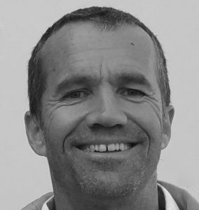
Rob Klau
BSurv (UNSW) ESP-AP (SSSI)
Director of Klau Geomatics
Co-Founder/CEO of 4DMapper
Rob has 30 years of international experience as a consultant/contractor in mapping, surveying, geodetic control surveys for photogrammetry and exploration. He is founder and director of Klau Geomatics, a successful survey operations company, now manufacturing aerial mapping technology. He founded, grew and successfully exited a UAV mapping company. Also working on 4DMapper as a geospatial data platform. Rob has solid domain expertise and a broad perspective on the geospatial industry. He holds a Bachelor of Surveying degree and ESP-AP SSSI certification.
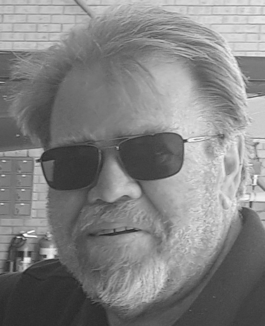
Brett Johnson
MBA
Director of Business Development and Sales
Klau Geomatics and 4DMapper
Brett has had a solid career in exploration, mining, and airborne surveying. This has included leading corporate geophysical and geospatial businesses globally, executing major complex projects in difficult environments. Brett is a commercial pilot, with a broad experience in Flight Operations, Maintenance and CRM/Air Safety. Always a proponent for task applicable technology and getting the most insight from data, Brett is able to talk to numerous market segments and brings a systematic and professional approach to the customer engagement processes.

Alex Johannessen
Senior Software Architect
Klau Geomatics and 4DMapper
30+ years of professional experience as a usability addict, user experience nitpicker and a hobby philosopher. A technologist with extensive SOA, REST and ESB ideals, and a host of programming languages to back it up. A sought-after speaker on user interface, usability, and Topic Maps. A blogger and a writer, with interests in philosophy, photography, biology, cosmology and music, married and a father of 3 mostly charming kids.

Guy Leeder
Senior Full Stack Software Engineer
Klau Geomatics and 4DMapper
Guy has over 20 years experience as a full stack developer across a variety of technologies and industries, leading teams of up to 15 developers. Career highlights include developing Management Solutions for multiple fortune 500 companies, Technical Co-Founder of a leading cloud based SAAS solution, and Architect and lead developer of a Virtual Cleaning Management SAAS used by some of the world’s largest facility management companies. He has a particular interest in designing and implementing reliable and scalable architecture, designing great User Experiences (UX) and geospatial technology.
In his spare time Guy enjoys scouring maps for interesting features and hitting the outdoors to visit them.
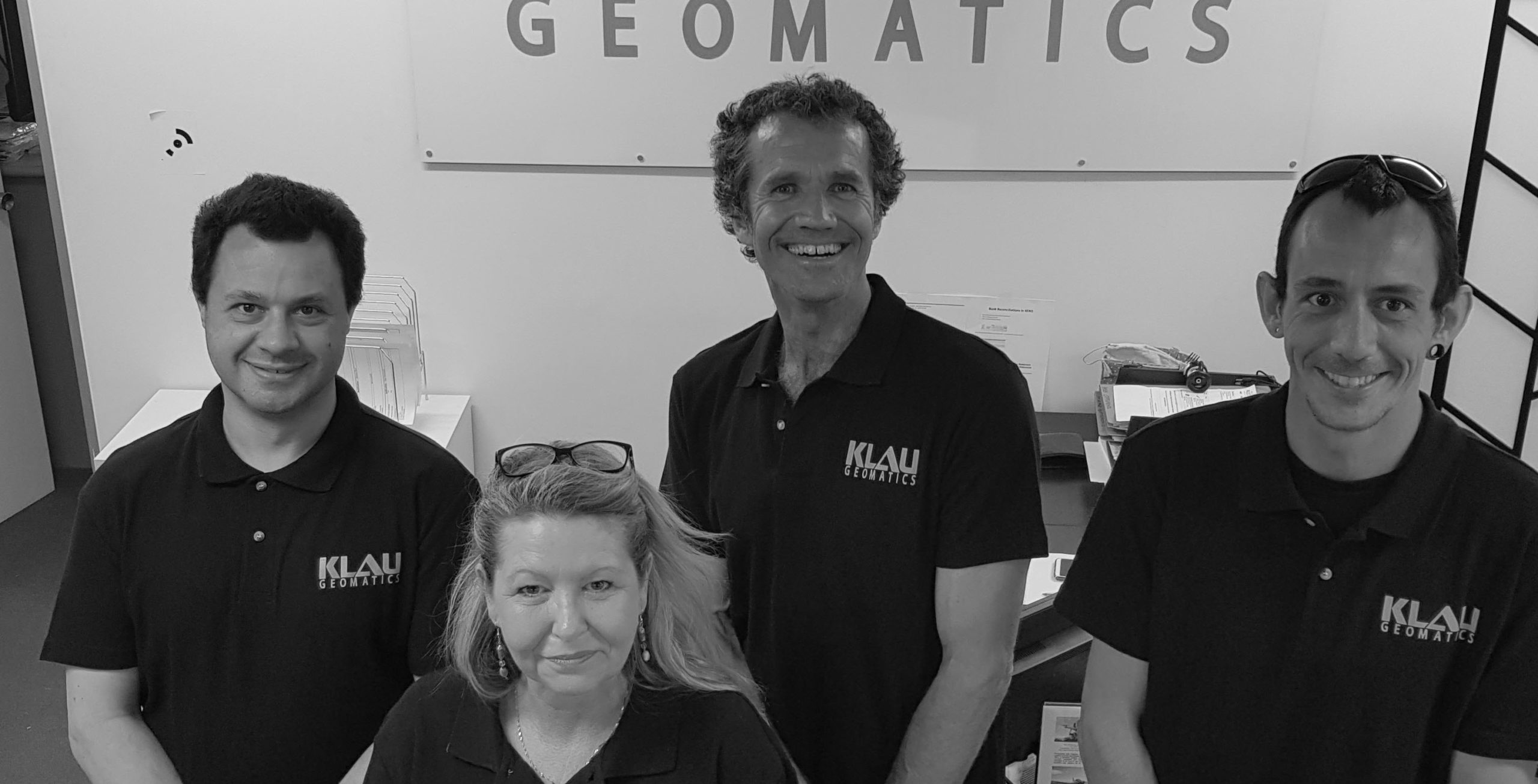
…and more of the Klau Geomatics Team
Radan, Sharee, Rob and Kallan
Kallan, our lead Electronics Engineer, and Radan, resident brainiac, create brilliant solutions in hardware, electronics, board design, 3D component design, 3D Printing, CNC machining, bare metal code on processor chips… these guys are in a different league!
Sharee keeps the operation in order, along with any and all other aspects of the business, administration, accounts and business in general.