GEOSPATIAL for GEOPHYSICS
-
Capture mapping data with your geophysics surveys
-
Accurate LiDAR terrain mapping for precise sensor processing
-
LiDAR altimetry and integration with other sensors
The right expertise to make this happen
Klau Geomatics knows geospatial and geophysics
The company directors at Klau Geomatics bring together a wealth of knowledge and experience in both geospatial and airborne geophysics.
Bringing these worlds together opens up opportunities to add efficiency and value, to create more data in the one mission and to leverage the synergies of bringing those data together.
Klau Geomatics technology pushes the boundaries of traditional aerial mapping, enabling mapping data such as LiDAR and imagery to be captured within the flight parameters of a geophysics survey.
Thinking outside the box
Traditionally, airborne geophysics and aerial mapping have been two separate worlds.
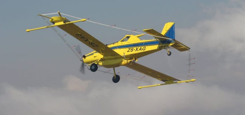
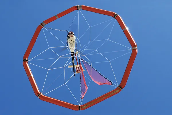
Geophysics; gravity, magnetics, EMF… sensors flown typically very low to the ground.
Aerial Mapping; typically high elevation aerial mapping with photogrammetry or lidar, a different sensor suite and capture scenario.
We’re re-thinking this paradigm.
Solution Synergies
Klau Geomatics builds innovative technology that pushes traditional boundaries, to open up new opportunities to capture more data in one pass.
Capture LiDAR and imagery at low level, on the same mission as your gravity mag survey.
The Klau Geomatics accuracy suite can measure geophysical sensor position and orientation very accurately, with little or no post processing. High accuracy sensor data means better accuracy in geophysical outcomes.
Brumby for GeoPhysics
Terrain Mapping
A custom variant of Brumby LiDAR specifically for low level geophysics terrain modelling.
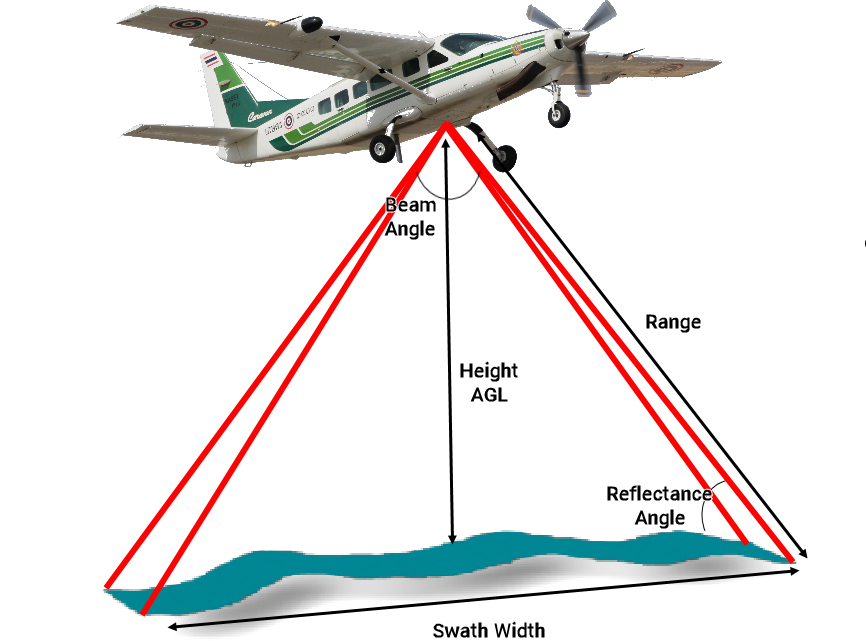
Simplified workflow to produce high density, high accuracy point clouds of the acquisition swath for high precision analytics. Real time PPP INS, and fast turnaround georeferenced LiDAR.
|
Typical Flight Parameters |
||
|
Flight height |
100 |
m |
|
Flight speed |
110 |
knots |
|
Beam angle |
90 |
degrees |
|
Swath width |
200 |
m |
|
Max Range |
141 |
m |
|
Max Reflectance angle |
45 |
degrees |
| Results | ||
| Point density at centre | 76 | pts/sqm |
| Point density at edge | 54 | pts/sqm |
| Range at 10% Lambercian Reflectivity | 200 | m |
External Sensor Positioning
Determine the position and orientation of your existing sensors. Particularly with towed arrays, sensor positioning can be difficult, if not just a rough guess.
Mount a Brumby on your aircraft or on your towed bird and determine the accurate position and orientation of the sensors.

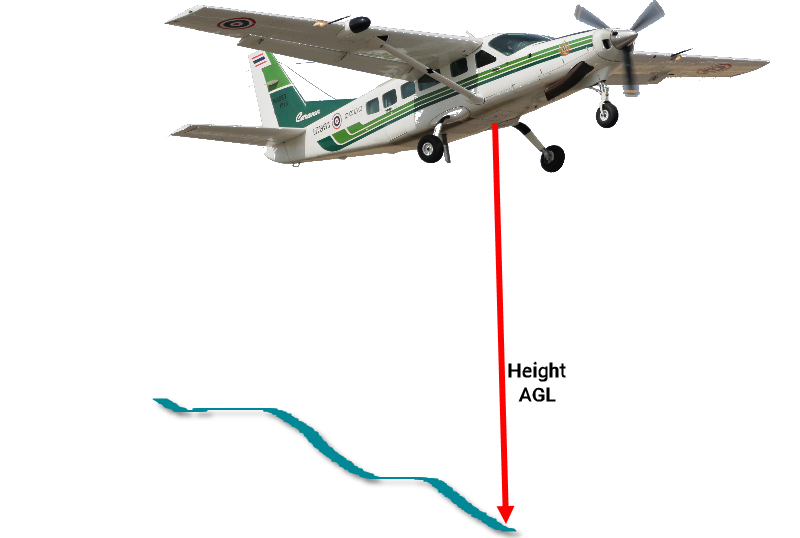
Altimetry
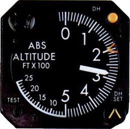
Accurate real time height above ground, extracted from the vertical part of the LiDAR scan.
Particularly with towed arrays, this gives the pilot and operator accurate information on the sensor range to terrain.
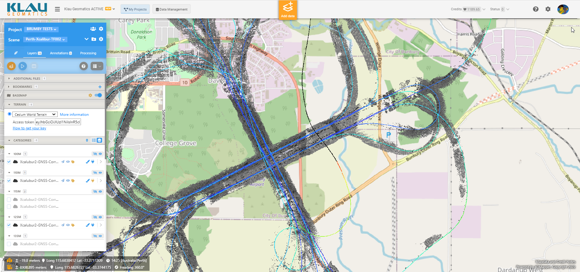
Flight Test
Test flight at typical airborne geophysics heights and speed
The Brumby LiDAR unit is perfect to capture an accurate digital surface models under your gravity, mag and RF sensors, while you fly.
One pass, more data, more accuracy.
Post process your geophysics over highly accurate terrain models to increase the fidelity of the results.
Read more about this flight test here on our Press Release.
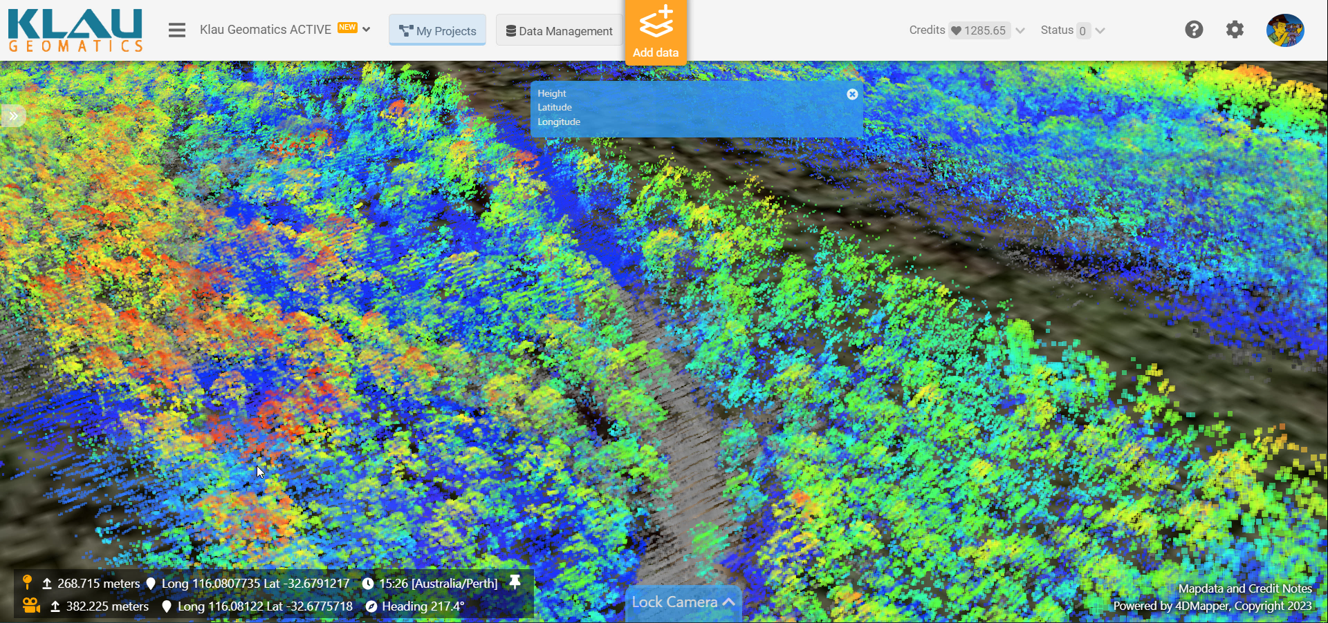
Flight Test
Vegetation Penetration to Ground at Speed
Another airborne geophysics flight test, over a forest, to determine capability to map ground below trees at typical flight heights and speed.
Read more about this flight test here on our Press Release.
Configure your Klau Geomatics system.
Contact us to discuss a system
for your requirements.
