
-
Live, real time, accurate, georeferenced pointclouds
-
Effortless operation, no post processing with Edge Compute
-
road, rail, airborne, and marine
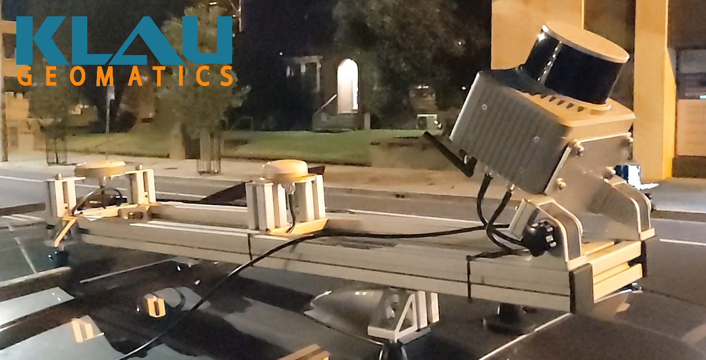
Brumby LiDAR is the world’s only real time kinematic LIDAR system,
producing accurate georeferenced point clouds on the fly.
For Asset Managers, Miners, Military and Pointcloud Analytics Services.
Drive or fly your site, remove the SSD drive and get to work
with your accurate georeferenced pointcloud.

Accurate Pointclouds Fast
No Post Processing
The Brumby will produce an accurate live trajectory, with precise geoid and coordinate system applied, in real time. Raw LiDAR data is then georeferenced as it is captured to generate accurate georeferenced pointclouds.
Effortless.
If you really do want to do Post Processing…
All raw data is stored on the Brumby, including GNSS, IMU, LiDAR, calibration files and metadata. So, if you do want to post process the capture, it’s all there.

Add Inertial Explorer, with personalised training, to post-process the trajectory, enabling the highest accuracy outputs.
If you need to adjust the system calibration or re-process the pointcloud georeferencing, run the Klau Geomatics Georeferencer.

Add Agisoft Metashape to run a photogrammetric colourisation of your pointcloud. The Brumby supports two external cameras with position and orientation, to process colour into your pointcloud data.

Add Blue Marble Global Mapper for pointcloud analytics with a logical accessible user interface.
The Brumby Controller
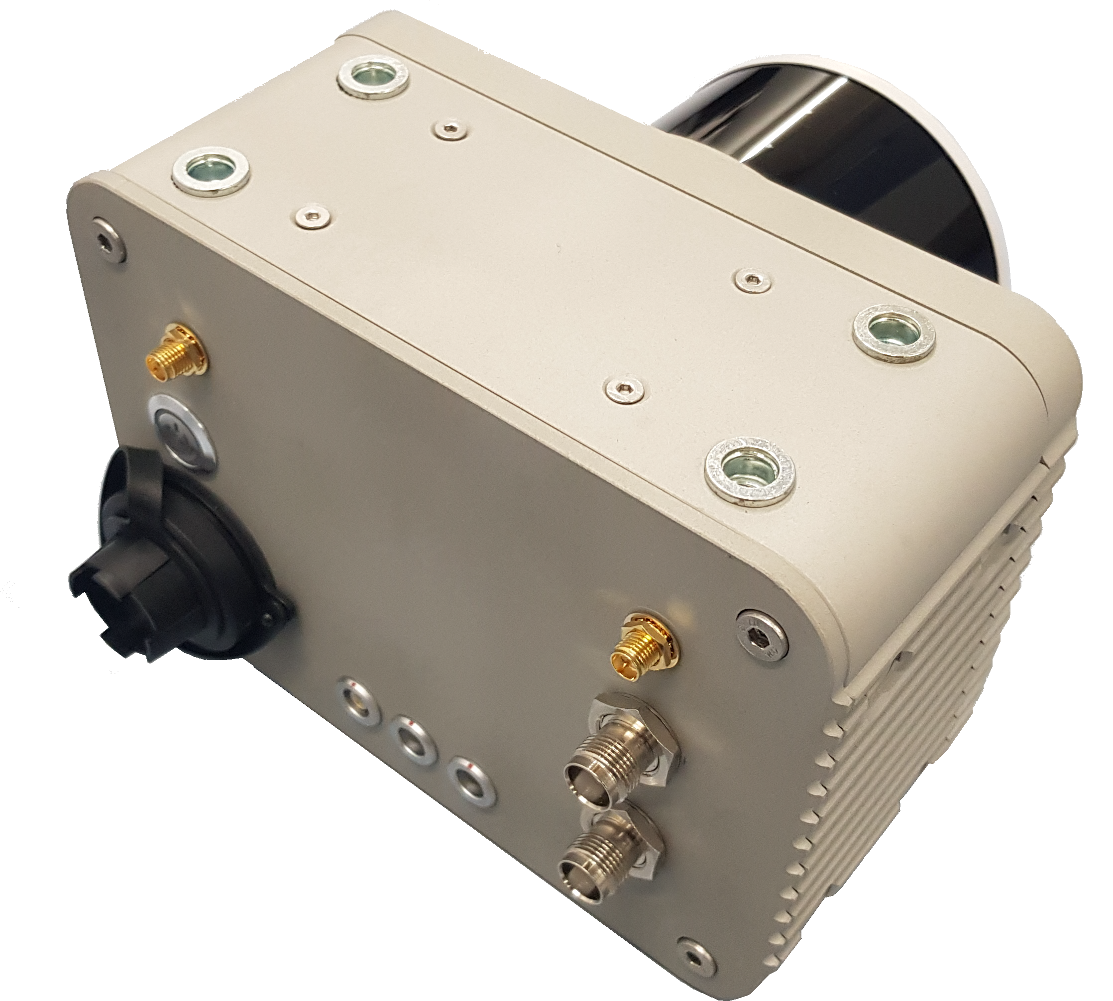
Heart of the Brumby LiDAR is the Brumby Controller, a powerful sensor integration and processing system.
Built with very low level machine code on dedicated processors to enable direct system integration and powerful data handling.
-
Dual Receiver NovAtel 7 Series GNSS , IMU, SPAN INS with real time NTRIP RTK or TerraStar-C Pro PPP. Accurate trajectory position and orientation for multiple sensors
-
Control of the Brumby LiDAR and other external sensors on the aircraft such as Ladybug, PhaseOne and DSLR cameras, multispectral, hyperspectral and geophysics sensors. Integration with Flight Management System
-
Onboard high-speed processing of trajectory and georeferenced LiDAR pointclouds
-
Small, light (1.8kg), IP67 rated. Australian designed and manufactured

The Naked Brumby
A minimalist approach for a single Brumby LiDAR on a helicopter, light aircraft drone or mounted directly on towed-bird geophysics sensor arrays.
-
Approved for aviation
-
Meeker compatible for compliant aircraft installs
-
Single Brumby LiDAR and Sony camera
-
Australian designed and manufactured
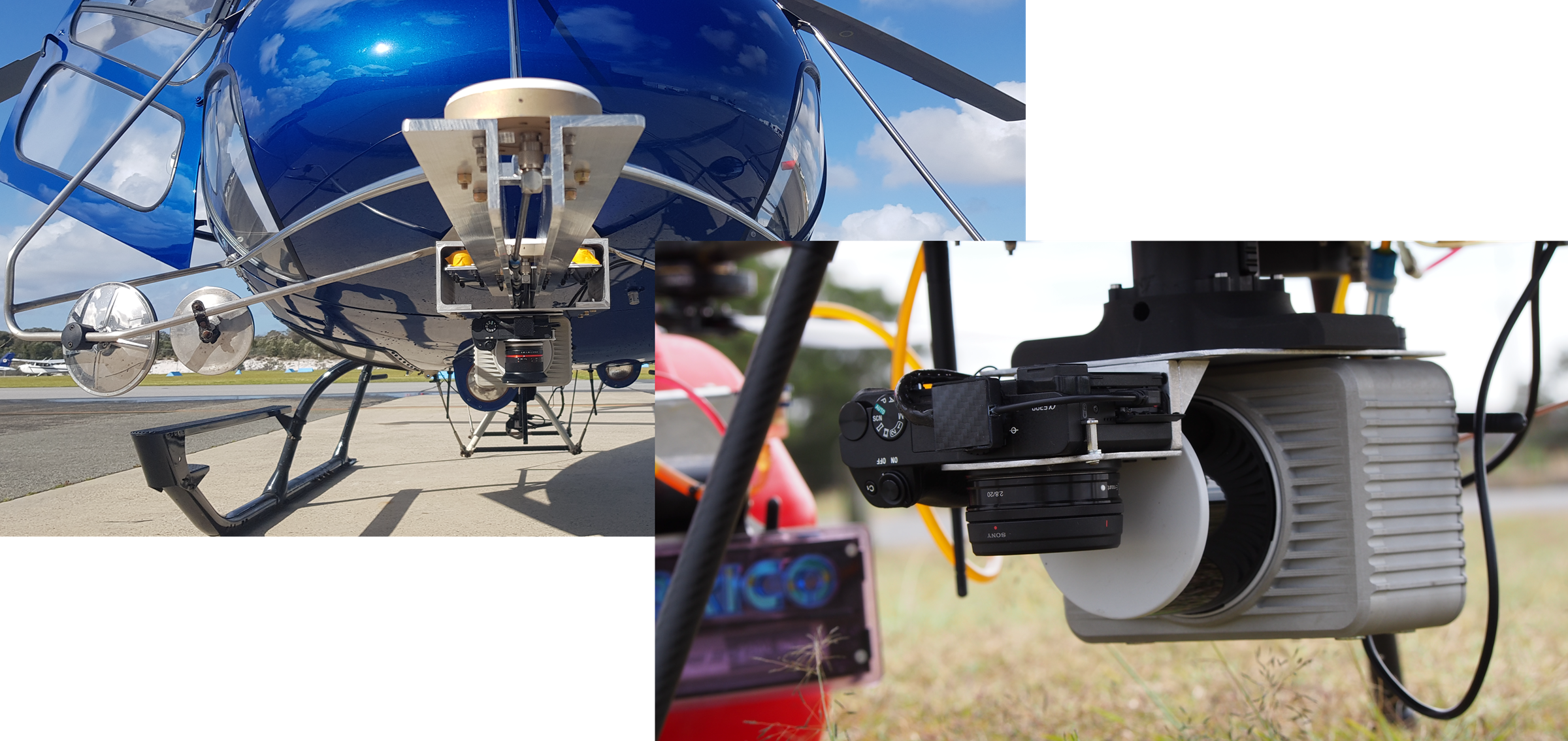
Brumby LiDAR on manned helicopter and petrol hybrid UAV
LiDAR
High Density, mulit-beam, multi-return, with full metadata.
GNSS/INS
NTRIP RTK or Terrastar-C Pro for high accuracy anywhere. Processed live.
LIVE Pointcloud
An accurate georeferenced pointcloud, fast.
Not quite what you’re looking for?
-
Single and dual receiver GNSS options
-
Hesai, Riegl, Ouster, Livox & other LiDAR
-
IMUs from Epson, Honeywell, VectorNav and KVH
-
Custom configuration to suit your requirements

Configure your Klau Geomatics system.
Contact us to discuss a system
for your requirements.
