Klau Geomatics is releasing the Brumby LiDAR for the airborne geophysical survey market.
The system
-
captures an accurate, dense pointcloud of the terrain below the survey platform and sensors,
-
highly accurate in determining position and orientation of the sensors,
-
provides AGL altimetry data to supplement navigation systems, and
-
is designed to be aircraft, helicopter, towed bird or EM array mounted
The Company Directors at Klau Geomatics bring a unique synergy of experience in airborne geophysics operations and geospatial technology development. With this understanding of ‘both worlds’, they have built a system that opens opportunities to collect better data, with higher precision, and produce more detailed intelligence from those data.
Brumby LiDAR offers a highly competitively priced system, designed and built in Australia.
Using some new technologies from leading geospatial companies, the integrated system produces an accurate, dense pointcloud swath. Point density is higher than previously achieved in airborne LiDAR, with very high absolute accuracy.
And this is achieved at typical airborne geophysical flight heights and speeds.

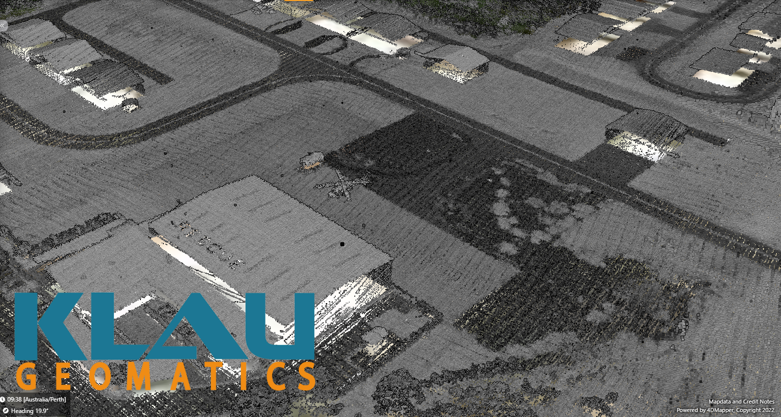
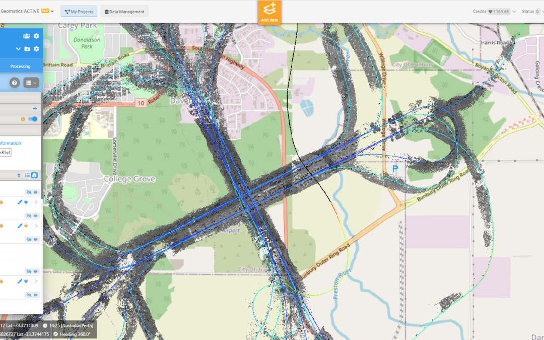
Compilation of 16 scans, from 4 directions, at heights from 100m to 200m AGL showing high precision over multiple captures

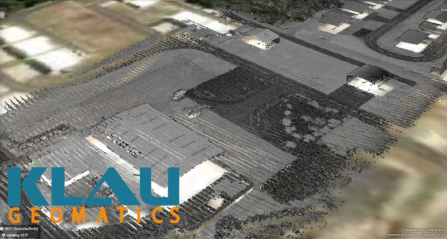
Single scan from 100m AGL at 135 kn (70 m/s) ground speed

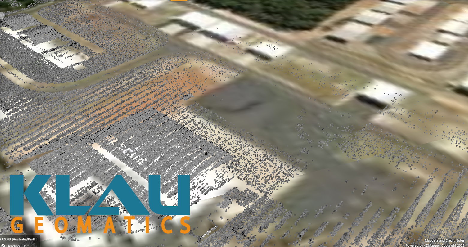
Single scan from 165m AGL at 135 kn (70 m/s) ground speed

