by Rob Klau | Mar 17, 2023 | Press release
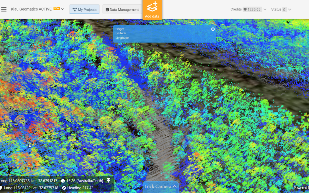
The test: to create accurate ground surface mapping, through vegetation, at 250 km per hour. The Klau Geomatics Brumby LiDAR was put to the test over the South Danalup forest, east of Perth, Western Australia. Flown in a Cessna Caravan at 135 knts (250 km/h), 300 ft...
by Rob Klau | Dec 8, 2022 | Press release
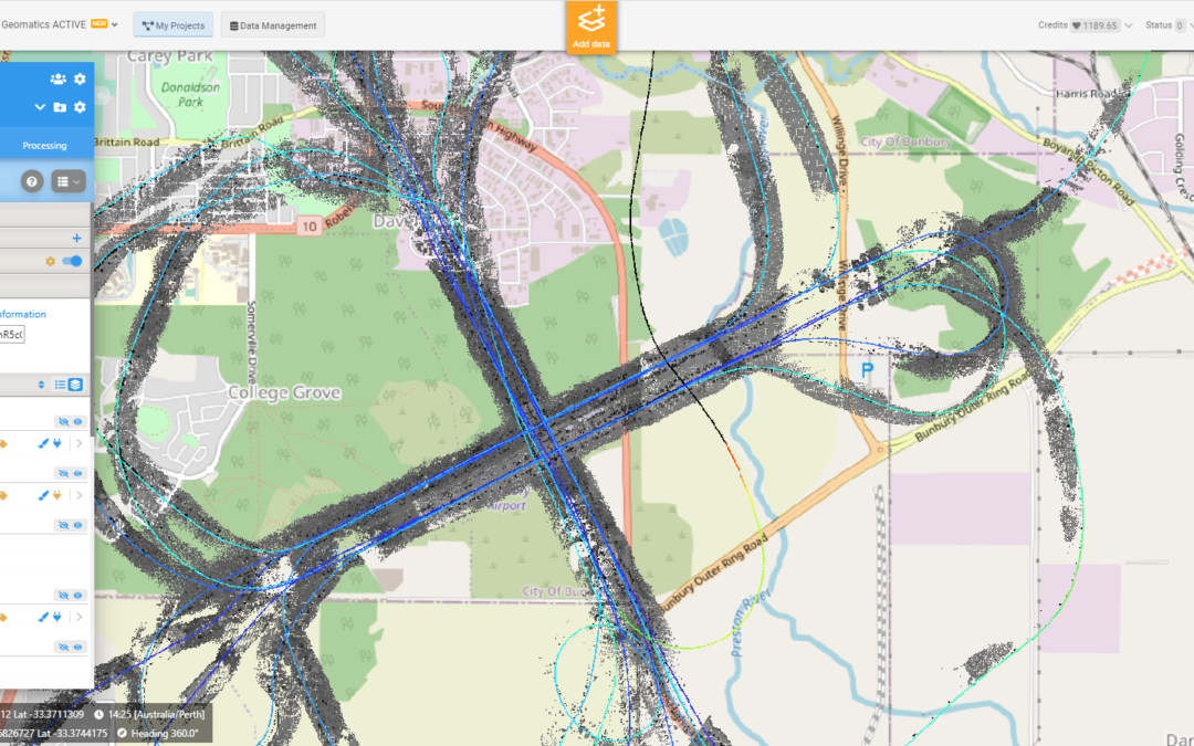
Klau Geomatics is releasing the Brumby LiDAR for the airborne geophysical survey market. The system captures an accurate, dense pointcloud of the terrain below the survey platform and sensors, highly accurate in determining position and orientation of the sensors,...
by Rob Klau | Aug 30, 2022 | Press release
Surveyors and Engineers working with UAVs are finding it difficult to produce quality mapping as they are swamped with cheap drone hardware and software, driving them into the race to the bottom on what used to be a quality-focused profession. While trying to...
by Rob Klau | Feb 16, 2022 | Press release
Klau Geomatics recently featured in GoGeomatics magazine in Canada. A great story. Despite a boom in the use of small unmanned aerial systems for surveying and mapping, manned systems have seen growth. While there has been an explosion in the use of small...
