by Rob Klau | Apr 24, 2024 | Press release
Over the past decade mine surveying has radically changed with drones playing a big role in mine mapping and volume determination. Photogrammetry with drones has brought efficiencies that have changed the way mines are measured and managed. Now, technology is...
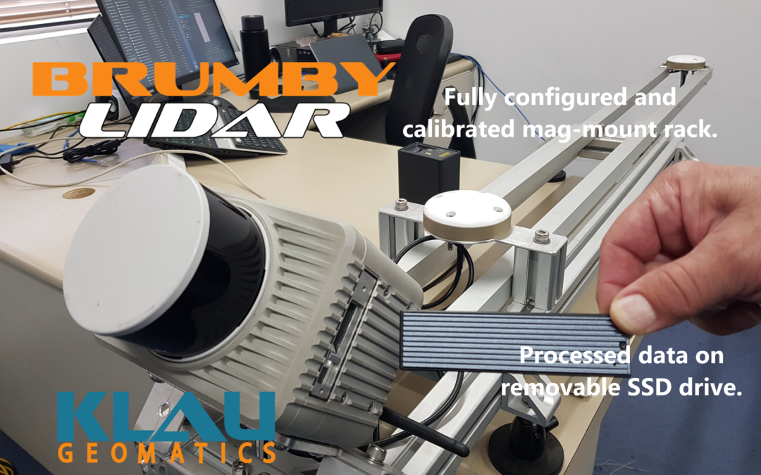
by Rob Klau | Feb 24, 2024 | Press release
As published in LiDAR News The Klau Geomatics Edge Compute ‘Brumby’ LiDAR generates live, accurate georeferenced point clouds. No post processing is required. The data is produced with geospatial coordinates at the speed of capture on the device. This groundbreaking...
