by Rob | Oct 9, 2019 | Press release
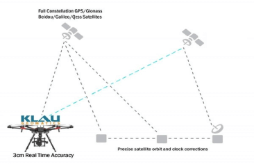
Klau Geomatics, established leader in UAV PPK solutions, has released another breakthrough in survey technology for drones and manned aerial mapping: Real-Time PPP (Precise Point Positioning), enabling 3 to 5cm. READ...
by Rob | Oct 9, 2019 | Press release
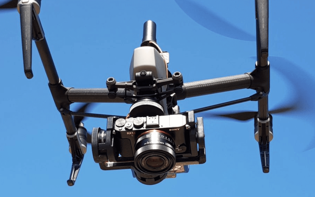
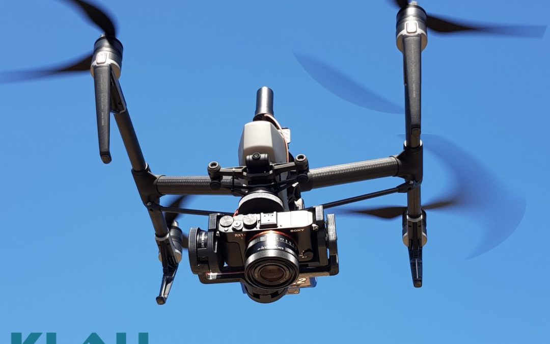
With the end of the DJI X4s camera, drone operators have been looking for a quality mapping camera solution for the Inspire 2 and M200/M210/M210V2 drones. Klau Geomatics has released a Sony camera/PPK payload to offer even better results from these drones. This...
by Rob | Jun 24, 2019 | Press release
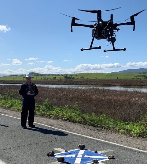
Leveraging UAS technology across surveying and engineering sectors is demanding. The expectations of accuracy and accountability require the best in expertise, methodology, and equipment. Using the latest UAS photogrammetric hardware and software, surveyors are now...
by Rob | Jun 20, 2019 | Press release
UAVs have brought photogrammetry back as a bread and butter tool for surveying. They’ve put mapping back on the map. But often we see large ambitious UAV projects undertaken, to capture long stretches of highway or vast expanses of detailed mapping, taking weeks of...
by Rob | Feb 27, 2019 | Press release
Klau Geomatics, established a leader in UAV PPK solutions, has released another breakthrough in survey technology for drones and manned aerial mapping: Real-Time PPP (Precise Point Positioning), enabling 3 to 5cm initial positioning accuracy, anywhere in the world,...
by Rob | Feb 27, 2019 | Press release
With the end of the DJI X4s camera, drone operators have been looking for a quality mapping camera solution for the Inspire 2 and M200/M210/M210V2 drones. Klau Geomatics has released a Sony camera/PPK payload to offer even better results from these drones. This...
